
Accomplishments
From watershed development to bike trails, we are proud of the work we've done in bringing life back to the river and the surrounding corridor.

Finances
All of our work is made possible through community philanthropy and available grants, and we ensure transparency by making that information available.

Reports
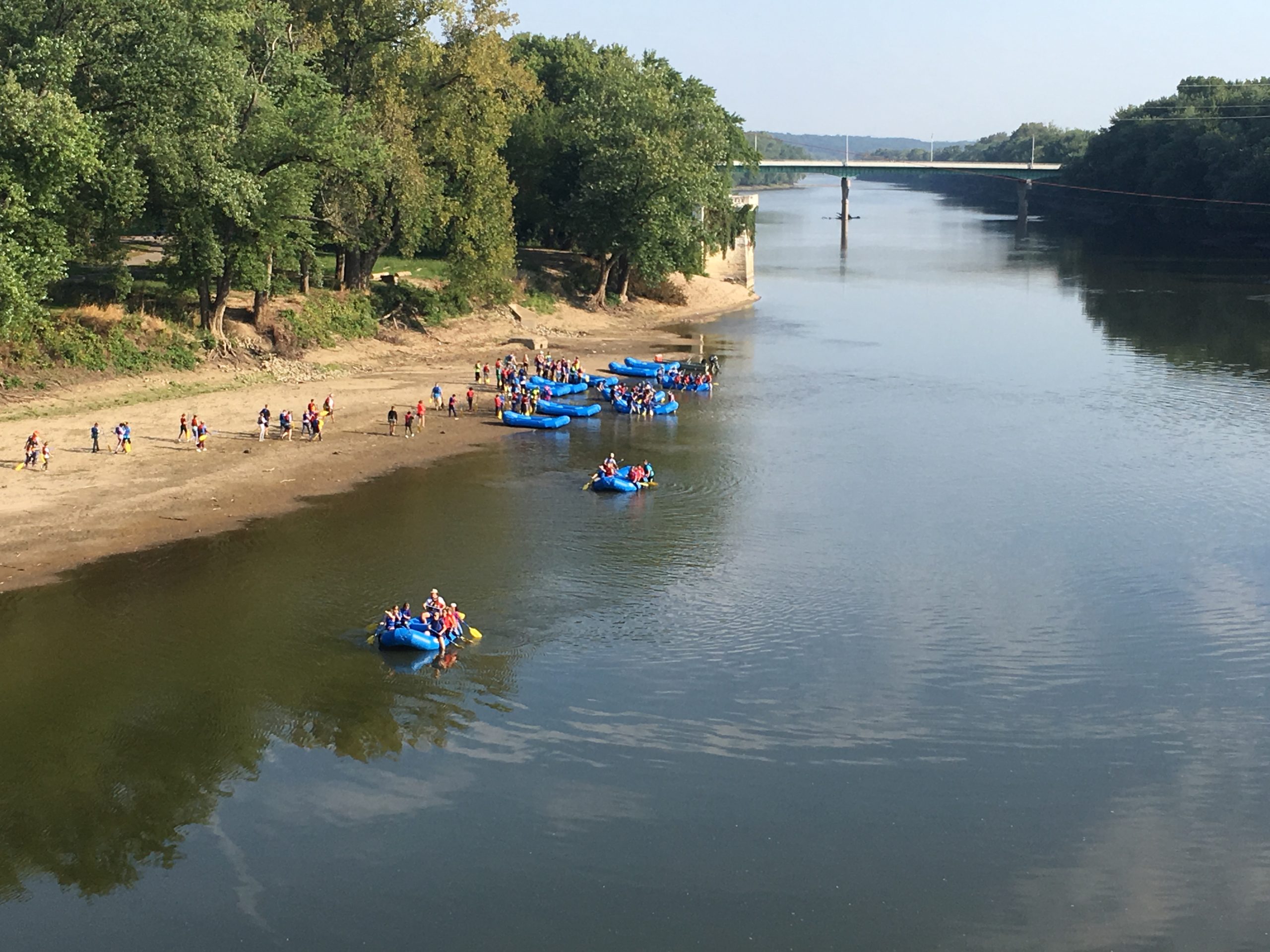
As the custodian of the Wabash River and surrounding corridor, we monitor and record information such as water quality and invasive species.